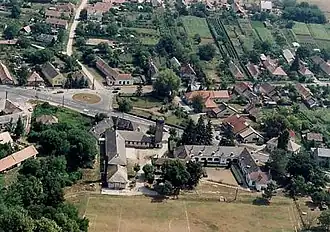
Vajta (Hungría)
| Vajta | ||||
|---|---|---|---|---|
| Ciudad | ||||
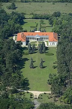 Vista aérea del castillo de Zichy
| ||||
| ||||
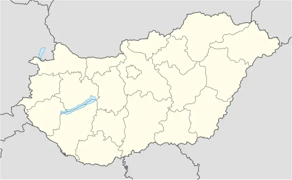 Vajta Localización de Vajta en Hungría | ||||
| Coordenadas | 46°43′08″N 18°39′54″E / 46.718830555556, 18.664880555556 | |||
| Entidad | Ciudad | |||
| • País |
| |||
| • Condado |
| |||
| • Distrito | Sárbogárd | |||
| Alcalde | György Térmeg[1] | |||
| Superficie | ||||
| • Total | 23,43 km² | |||
| Población (2024) | ||||
| • Total | 784[2] hab. | |||
| • Densidad | 38,92 hab./km² | |||
| Huso horario | Hora de Europa Central, UTC+01:00 y UTC+02:00 | |||
| Código postal | 7041[3] | |||
| Prefijo telefónico | 25 | |||
| Sitio web oficial | ||||

Vajta es un pueblo en el condado de Fejér, Hungría.
Referencias
- ↑ «Nemzeti Választási Iroda». vtr.valasztas.hu (en húngaro). Consultado el 4 de agosto de 2025.
- ↑ «Központi Statisztikai Hivatal». ksh.hu (en húngaro). Consultado el 4 de agosto de 2025.
- ↑ Worldpostalcodes.org,código postal n.º 7041.