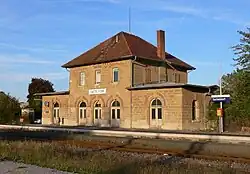
Satteldorf
| Satteldorf | ||
|---|---|---|
| Municipio | ||
 | ||
 Escudo | ||
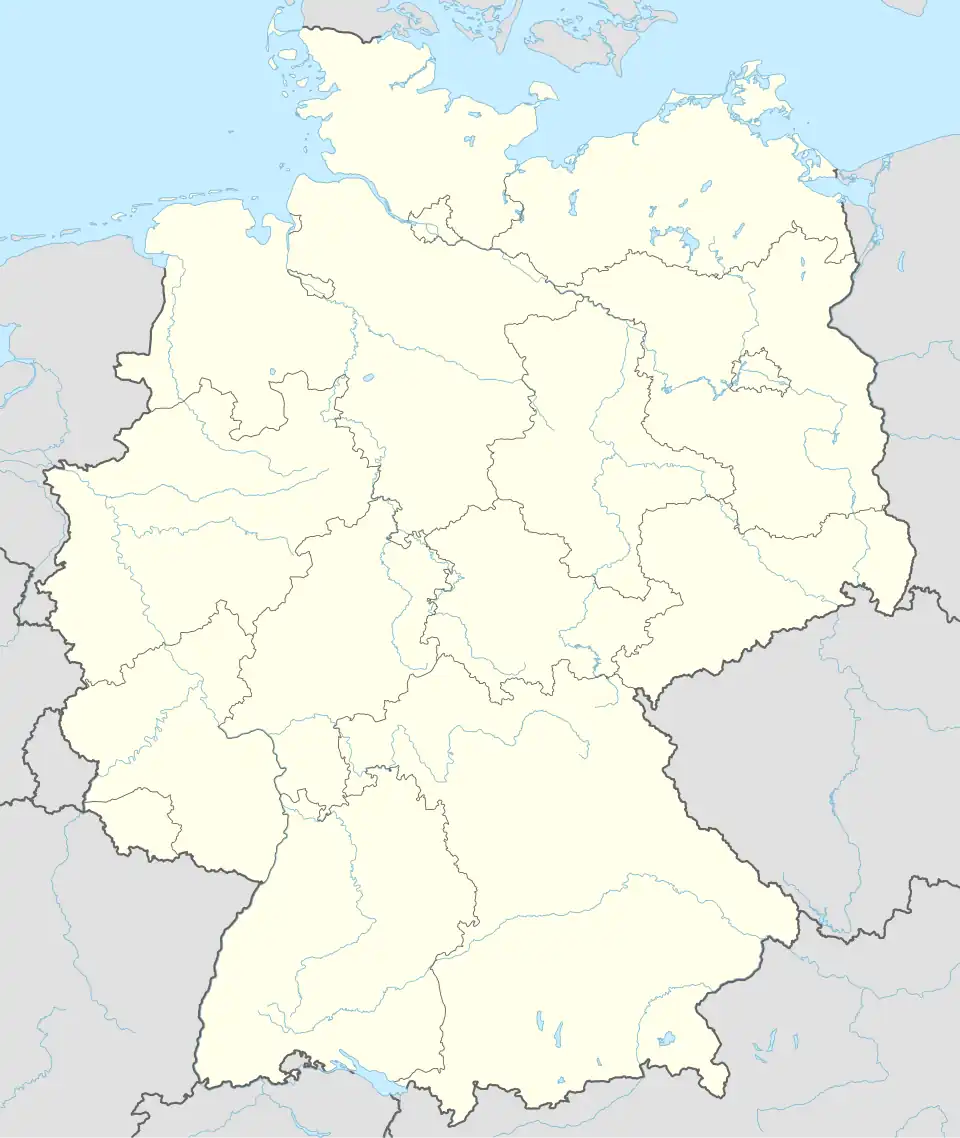 Satteldorf Localización de Satteldorf en Alemania | ||
 | ||
| Coordenadas | 49°10′05″N 10°04′51″E / 49.168055555556, 10.080833333333 | |
| Entidad | Municipio | |
| • País |
| |
| • Estado |
| |
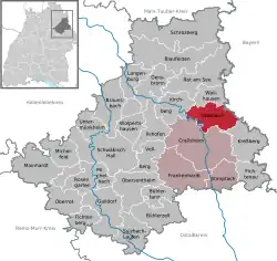
| • Distrito | Schwäbisch Hall | |
| Superficie | ||
| • Total | 50,56 km² | |
| Altitud | ||
| • Media | 421 m s. n. m. | |
| Población (2023) | ||
| • Total | 5835 hab. | |
| • Densidad | 126,27 hab./km² | |
| Huso horario | UTC+01:00 y UTC+02:00 | |
| Código postal | 74589[1] | |
| Prefijo telefónico | 07951 | |
| Matrícula | SHA | |
| Número oficial de comunidad | 08127073 | |
| Sitio web oficial | ||
Satteldorf es un municipio alemán perteneciente al distrito de Schwäbisch Hall de Baden-Wurtemberg.
Localización
Se ubica a orillas del río Jagst en la periferia septentrional de Crailsheim. Al norte del pueblo pasa la autovía A6, quedando el municipio a medio camino por carretera entre Stuttgart y Núremberg.[2]
Historia
El municipio fue creado en 1974 mediante la fusión de los antiguos municipios de Satteldorf, Ellrichshausen y Gröningen. El pueblo es de origen medieval y en el término municipal se ubican las ruinas del monasterio de Anhausen, del siglo XIV.[3][4]
Demografía
A 31 de diciembre de 2017 tiene 5502 habitantes.[5]
Referencias
- ↑ Worldpostalcodes.org, código postal n.º 74589.
- ↑ Mapa de Satteldorf Google Maps
- ↑ Gottfried Stieber: Anhaussen. In: Historische und topographische Nachricht von dem Fürstenthum Brandenburg-Onolzbach. Johann Jacob Enderes, Schwabach 1761, S. 200–201
- ↑ Statistisches Bundesamt (Hrsg.): Historisches Gemeindeverzeichnis für die Bundesrepublik Deutschland. Namens-, Grenz- und Schlüsselnummernänderungen bei Gemeinden, Kreisen und Regierungsbezirken vom 27.5.1970 bis 31.12.1982. W. Kohlhammer, Stuttgart/Mainz 1983, ISBN 3-17-003263-1, S. 467.
- ↑ Statistisches Landesamt Baden-Württemberg – Bevölkerung nach Nationalität und Geschlecht am 31. Dezember 2017 (CSV-Datei)
Enlaces externos
 Datos: Q81994
 Multimedia: Satteldorf / Q81994