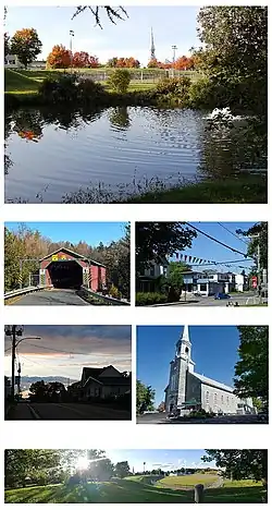
Sainte-Agathe-de-Lotbinière
| Sainte-Agathe-de-Lotbinière | ||
|---|---|---|
| Municipio | ||
 | ||
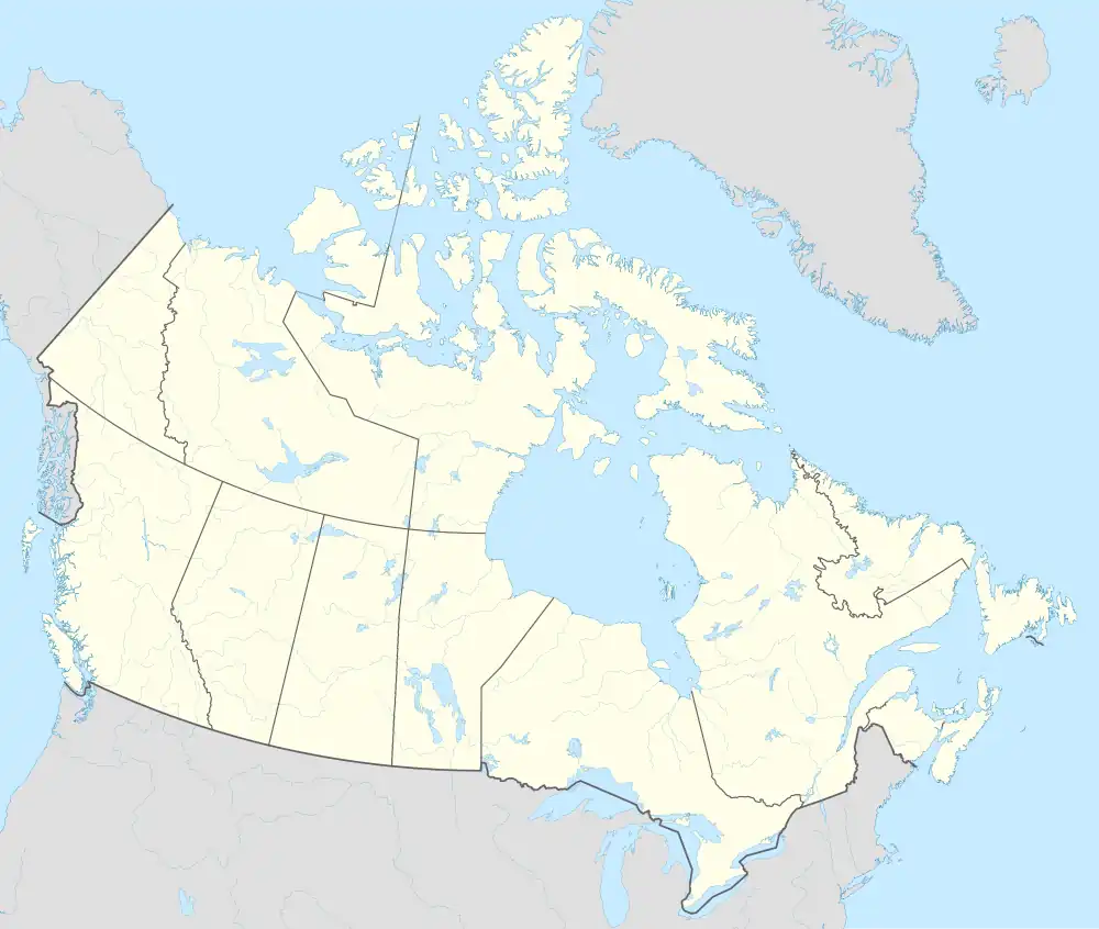 Sainte-Agathe-de-Lotbinière Localización de Sainte-Agathe-de-Lotbinière en Canadá | ||
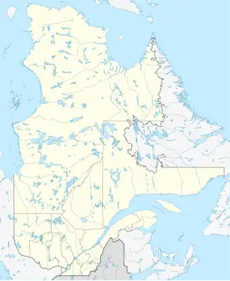 Sainte-Agathe-de-Lotbinière Localización de Sainte-Agathe-de-Lotbinière en Quebec | ||
| Coordenadas | 46°23′00″N 71°25′00″O / 46.3833, -71.4167 | |
| Entidad | Municipio | |
| • País |
| |
| • Provincia |
| |
| Superficie | ||
| • Total | 166,99 km² | |
| Población (2021) | ||
| • Total | 1049 hab. | |
| • Densidad | 6,3 hab./km² | |
| Sitio web oficial | ||
Sainte-Agathe-de-Lotbinière es un municipio canadiense situado en la provincia de Quebec.[1]
Superficie
Sainte-Agathe-de-Lotbinière tiene una superficie de 166,99 km².[2]
Demografía
En 2021, tenía 1049 habitantes, una densidad poblacional de 6,3 hab./km², y 515 viviendas.[3]
Véase también
 Portal:Quebec. Contenido relacionado con Quebec.
Referencias
- ↑ «Sainte-Agathe-de-Lotbinière». City Population (en inglés). Consultado el 28 de abril de 2025.
- ↑ «Focus on Geography Series, 2021 Census of Population – Sainte-Agathe-de-Lotbinière, Municipalité». Statistics Canada (en inglés). Consultado el 28 de abril de 2025.
- ↑ «Population and dwelling counts: Canada, provinces and territories, and census subdivisions (municipalities)». Statistics Canada (en inglés). Consultado el 28 de abril de 2025.
 Datos: Q3464141
 Multimedia: Sainte-Agathe-de-Lotbinière / Q3464141