Pilar (Cebú)
| Pilar | ||
|---|---|---|
| municipio | ||
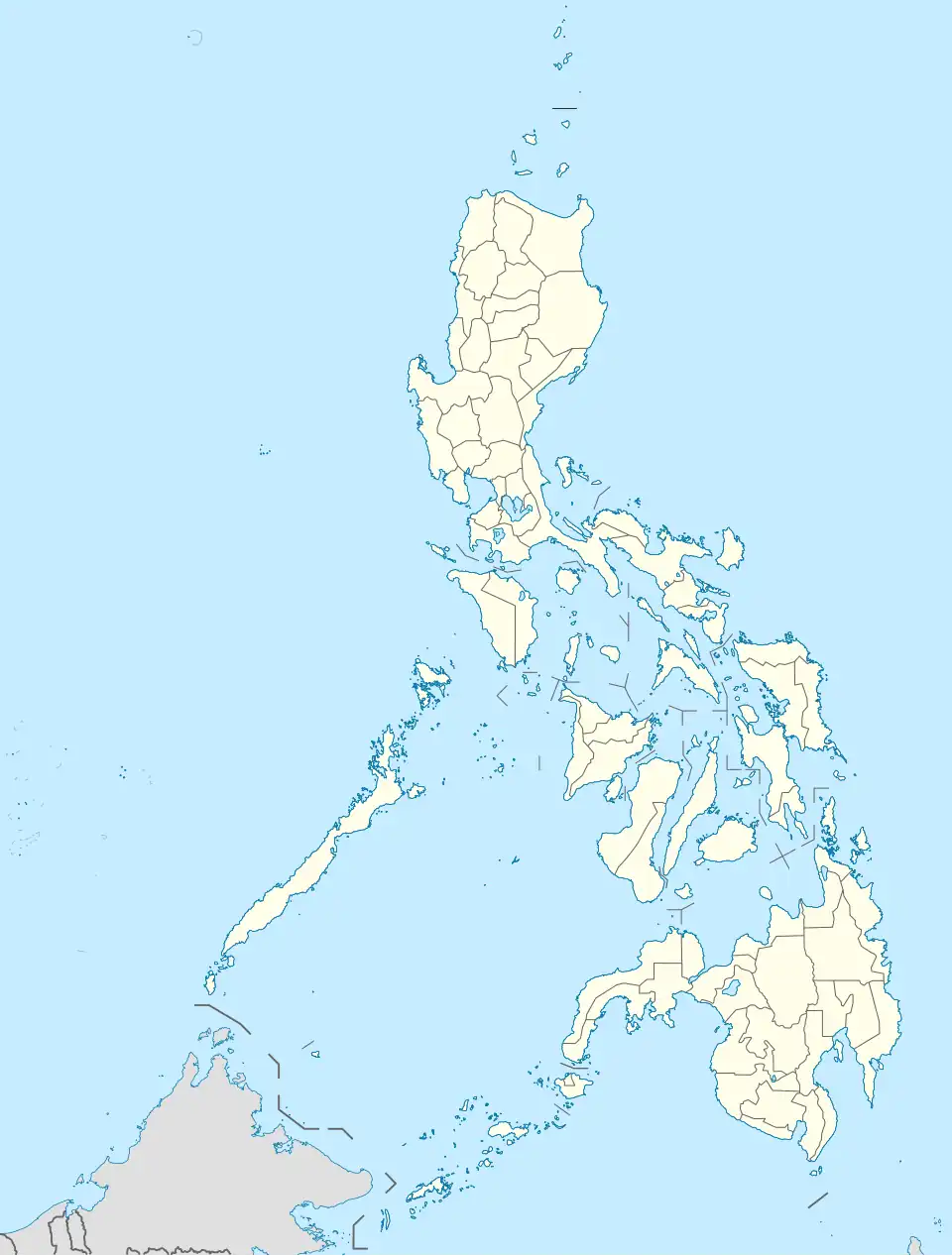 Pilar Localización de Pilar en Filipinas | ||
| Coordenadas | 10°48′25″N 124°33′54″E / 10.807, 124.565 | |
| Entidad | municipio | |
| • País |
| |
| • Región | Bisayas Centrales (Región VII) | |
| • Provincia | Cebú | |
| Superficie | ||
| • Total | 32,42 km² | |
| Altitud | ||
| • Media | 19 m s. n. m. | |
| Población (2024) | ||
| • Total | 12 454 hab. | |
| • Densidad | 384,15 hab./km² | |
| Código postal | 6048[1] | |
| Prefijo telefónico | 32 | |
Pilar es un municipio filipino perteneciente a la provincia de Cebú, en las Bisayas Centrales.
Geografía
Se encuentra en las islas Camotes.[2]
Historia
Hacia comienzos del siglo XX, el lugar, ya por entonces perteneciente a la provincia de Cebú, tenía contabilizada una población de 3771 habitantes.[2] En 2020, el municipio de Pilar tenía censados 12 506 habitantes.[3]
Notas
 Partes de este artículo incluyen texto de A pronouncing gazetteer and geographical dictionary of the Philippine Islands (1902), una obra de De Benneville Randolph Keim (1841-1914) en dominio público.
Referencias
- ↑ Worldpostalcodes.org, código postal n.º 6048.
- ↑ a b Keim, 1902, p. 459.
- ↑ Philippine Statistics Authority. «Region VII (Central Visayas)». Census of Population (en inglés). Consultado el 28 de diciembre de 2024.
Bibliografía
- Keim, De Benneville Randolph (1902). «Pilar». En Bureau of Insular Affairs, ed. A pronouncing gazetteer and geographical dictionary of the Philippine Islands. Washington: Government Printing Office. p. 459. Wikidata Q131573979.
 Datos: Q316245
 Multimedia: Pilar, Cebu / Q316245