Peeltree (Virginia Occidental)
| Peeltree | ||
|---|---|---|
| Lugar designado por el censo | ||
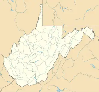 Peeltree Ubicación en el condado de Randolph en Virginia Occidental | ||
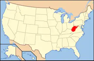 Ubicación de Virginia Occidental en EE. UU. | ||
| Coordenadas | 39°07′46″N 80°12′38″O / 39.1294, -80.2106 | |
| Entidad | Lugar designado por el censo | |
| • País |
| |
| • Estado |
| |
| • Condado | Randolph | |
| Altitud | ||
| • Media | 329 m s. n. m. | |
| Huso horario | Este: UTC-5 | |
| • en verano | UTC-4 | |
| Código de área | 304 | |
| GNIS | 1544690 | |
Peeltree — antes Scoop Town, luego Peel Tree — es un área no incorporada del Condado de Barbour, Virginia Occidental, Estados Unidos.[1]
La comunidad toma su nombre de la cercana Peeltree Run.[2]
Referencias
- ↑ «GNIS Detail».
- ↑ West Virginia Place Names: Their Origin and Meaning, Including the Nomenclature of the Streams and Mountains. Piedmont, WV: The Place Name Press. 1945. p. 479.
 Datos: Q14714307