Ngwathe
| Ngwathe | ||
|---|---|---|
| Municipio local | ||
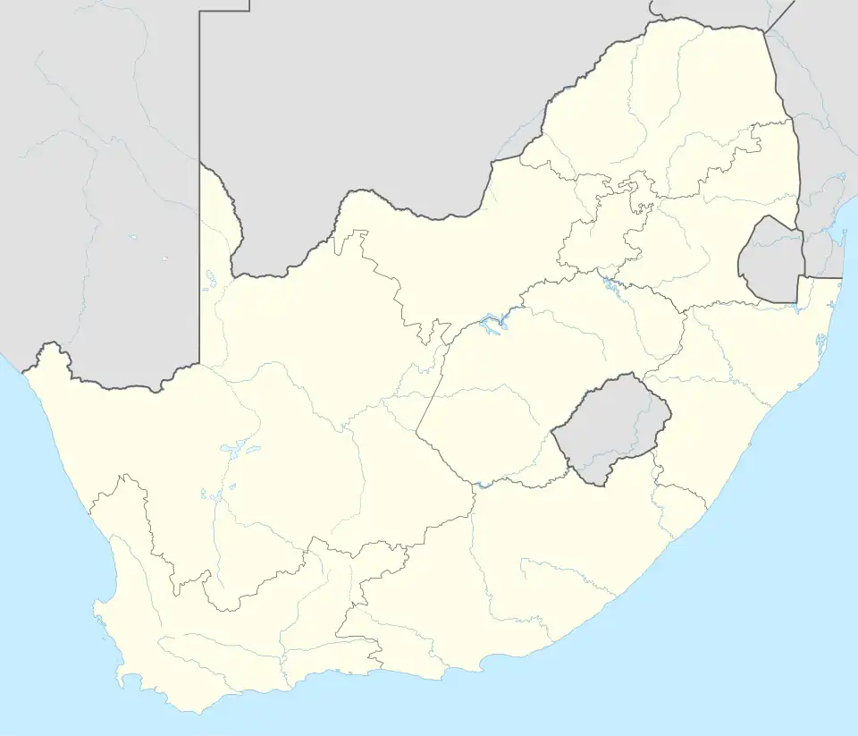 Ngwathe Localización de Ngwathe en Sudáfrica | ||
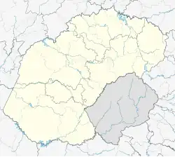 Ngwathe Localización de Ngwathe en Provincia del Estado Libre | ||
| Coordenadas | 26°53′43″S 27°27′32″E / -26.8953, 27.4589 | |
| Capital | Parys | |
| Entidad | Municipio local | |
| • País |
| |
| • Provincia | Estado Libre | |
| • Distrito | Fezile Dabi | |
| Superficie | ||
| • Total | 7055 km² | |
| Altitud | ||
| • Media | 1442 m s. n. m. | |
| Población (2022) | ||
| • Total | 134 962 hab. | |
| • Densidad | 19,13 hab./km² | |
| Huso horario | UTC+02:00 | |
| y https://www.ngwathe.fs.gov.za/ Sitio web oficial | ||
Ngwathe es un municipio local sudafricano situado en el distrito de Fezile Dabi, en la provincia de Estado Libre.[1]
Superficie
Ngwathe tiene una superficie de 7055 km².[1]
Demografía
En 2022, tenía 134 962 habitantes, una densidad poblacional de 19,13 hab./km², y 36 793 viviendas.[2]
Referencias
- ↑ a b «Ngwathe». City Population (en inglés). Consultado el 31 de mayo de 2025.
- ↑ «stats sa». Department: Statistics South Africa (en inglés). Consultado el 31 de mayo de 2025.
| Control de autoridades |
|
|---|
 Datos: Q1316771