Kaltental
| Kaltental | ||
|---|---|---|
| Municipio | ||
 | ||
 Escudo | ||
 Kaltental | ||
 | ||
| Coordenadas | 47°54′N 10°45′E / 47.9, 10.75 | |
| Entidad | Municipio | |
| • País |
| |
| • Estado | Baviera | |
| • Regierungsbezirk | Suabia | |
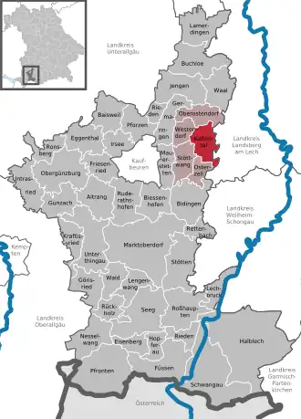
| • Distrito | Algovia Oriental | |
| Burgomaestre | Manfred Hauser | |
| Superficie | ||
| • Total | 22.14 km² | |
| Altitud | ||
| • Media | 710 m s. n. m. | |
| Población (31 de diciembre de 2012[1]) | ||
| • Total | 1635 hab. | |
| • Densidad | 74 hab./km² | |
| Huso horario | CET (UTC+01:00) | |
| • en verano | CEST (UTC+02:00) | |
| Código postal | 87662[2] | |
| Prefijo telefónico | 08345 | |
| Matrícula | OAL | |
| Número oficial de comunidad | 09777141 | |
| Sitio web oficial | ||
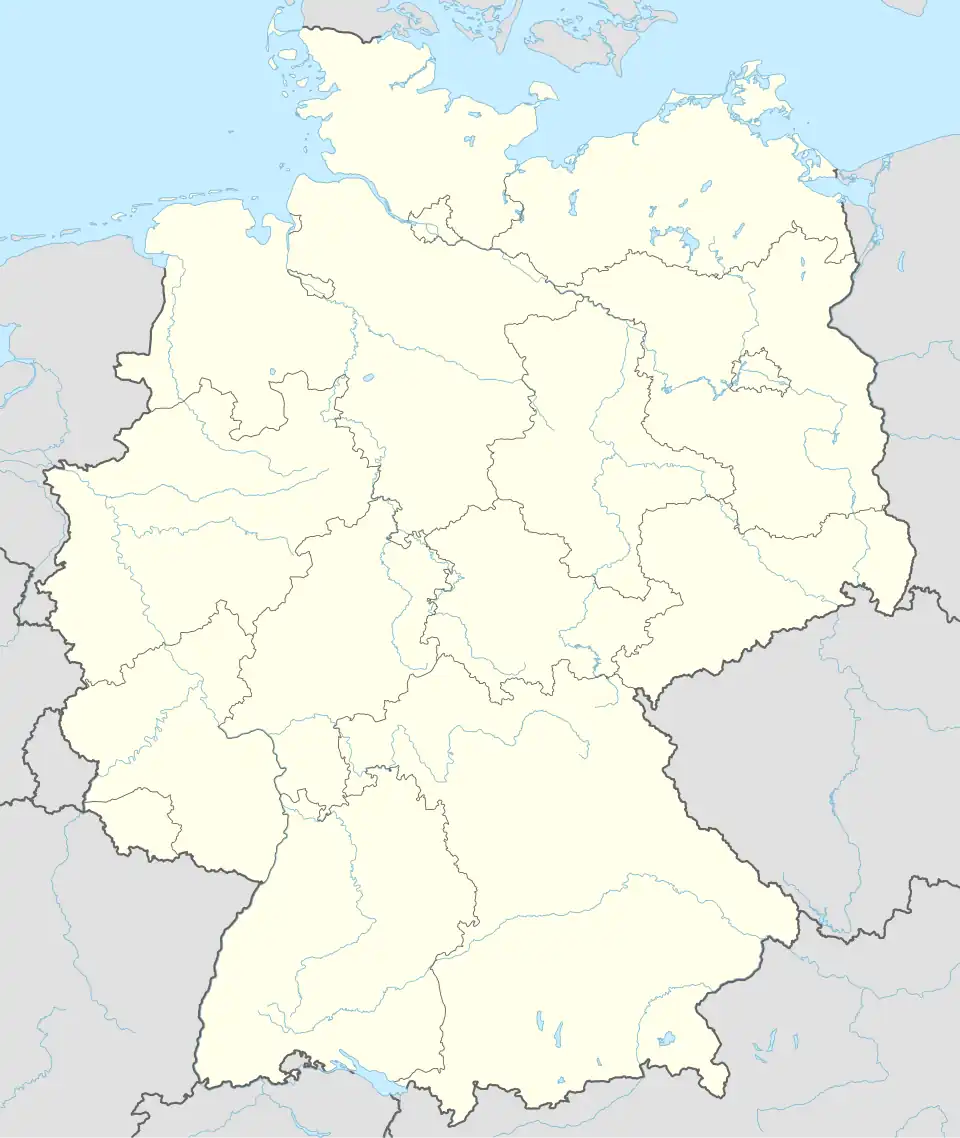
Kaltental es un municipio en el distrito de Algovia Oriental en Baviera en Alemania.
Referencias
- ↑ "Fortschreibung des Bevölkerungsstandes" Bayerisches Landesamt für Statistik und Datenverarbeitun (en alemán)
- ↑ Worldpostalcodes.org, código postal n.º 87662.
Enlaces externos
- Sitio web oficial (en alemán)
 Wikimedia Commons alberga una categoría multimedia sobre Kaltental.