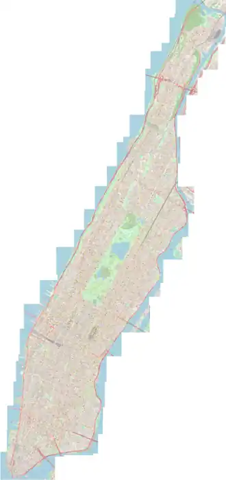
Este anexo recoge, en orden cronológico, diferentes planos generales y parciales de la isla de Manhattan, en la ciudad de Nueva York, los cuales permiten observar su evolución a lo largo de los años.
Lista de planos
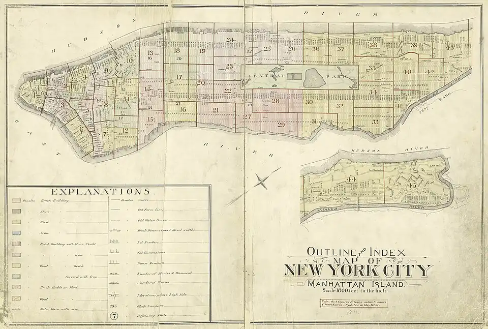
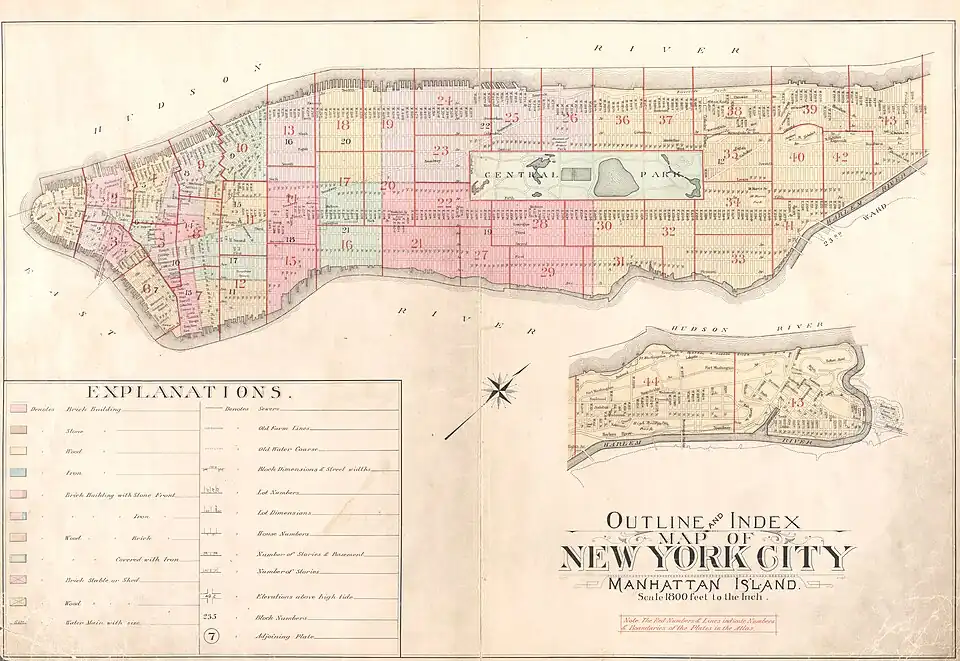
Siglo XIX
| Plano
|
Año
|
Autor
|
Área representada
|
|
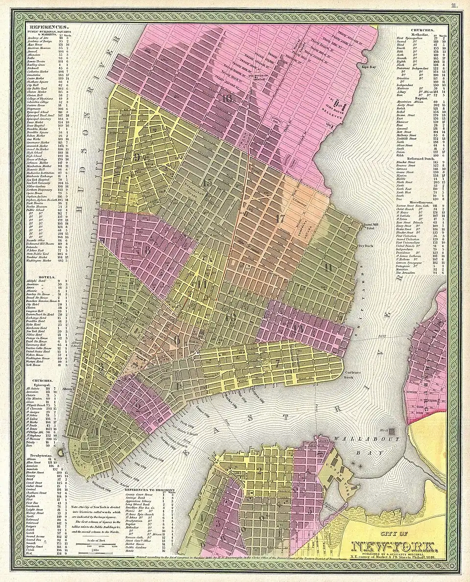
1848
|
Mitchell Sr., S. A.,A New Universal Atlas Containing Maps of the various Empires, Kingdoms, States and Republics Of The World. (edición de 1848)
|
Zona sur de Manhattan
|

|
1862
|
Miller, James; Phelps, Humphrey; Fillmore, Millard[1]
|
Centro y sur de Manhattan
|
|
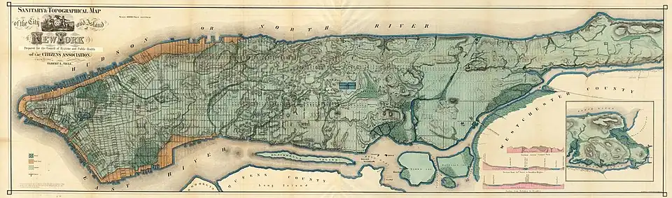
1865
|
Egbert Viele
|
Isla de Manhattan completa
|

|
1870
|
Hardy, John, Manual of the Corporation of the City of New York, 1871.[2]
|
Isla de Manhattan completa
|
|
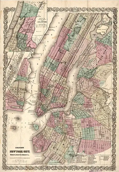
1879
|
G.W. & C. Colton & Co.; Colton, G. Woolworth (George Woolworth)[3]
|
Isla de Manhattan completa
|

|
1879
|
Will Taylor[4]
|
Isla de Manhattan completa
|
|
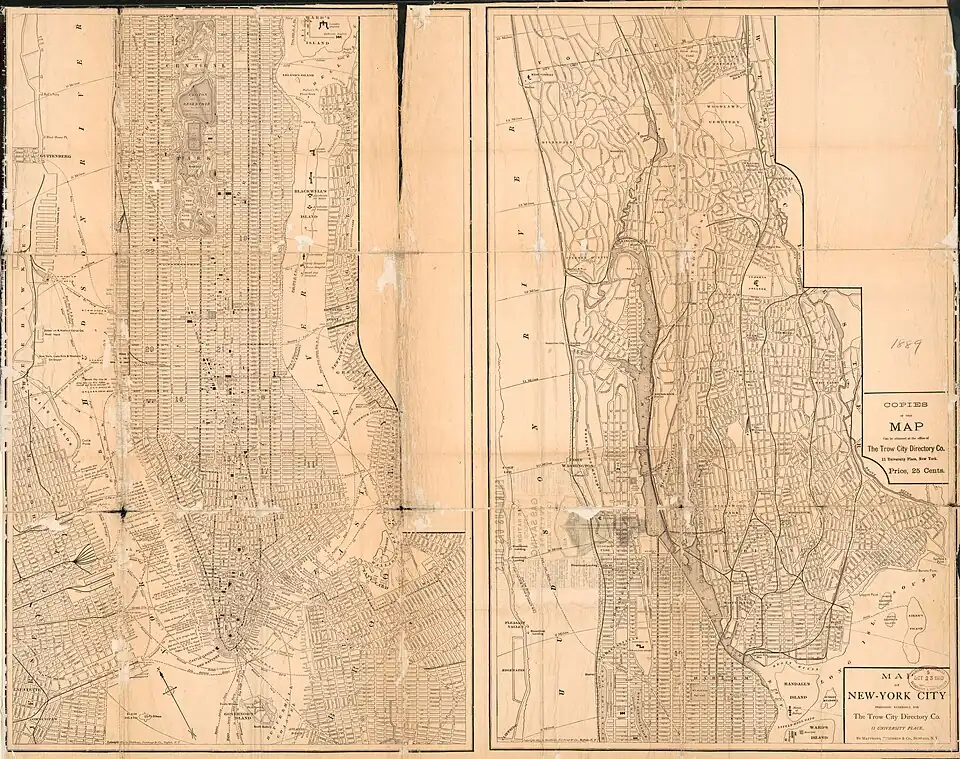
1889
|
Matthews-Northrup Company; Trow City Directory Company[5]
|
Isla de Manhattan completa
|
|
1891
|
George W. Bromley and Walter S. Bromley
|
Isla de Manhattan completa
|
_-_Geographicus_-_NYC-bien-1895.jpg)
|
1895
|
Joseph Rudolph Bien
|
Isla de Manhattan completa
|
|
1897
|
George W. Bromley and Walter S. Bromley
|
Isla de Manhattan completa
|
|
1899
|
?
|
Isla de Manhattan completa
|
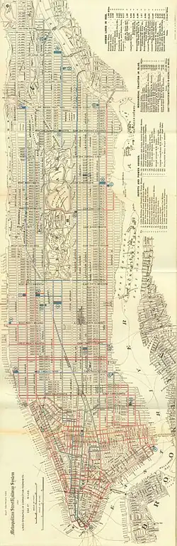
Siglo XX
| Plano
|
Año
|
Autor
|
Área representada
|

|
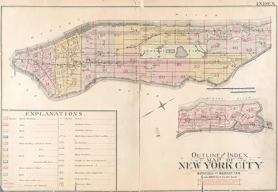
1908
|
Rand Mcnally And Company[6]
|
Isla de Manhattan completa
|
|
1911
|
George W. Bromley and Walter S. Bromley
|
Isla de Manhattan completa
|
|
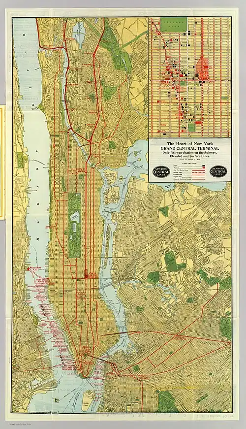
1918
|
New York Central Railroad[7]
|
Isla de Manhattan completa
|
|
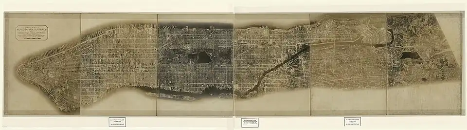
1921
|
Fairchild Aerial Camera Corporation[8]
|
Isla de Manhattan completa
|
|
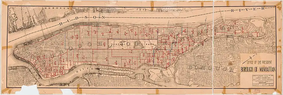
1960
|
New York (N.Y.). Board Of Education. Central Zoning Unit; Clark, Kenneth Bancroft; Turner, Francis A.; Manhattan (New York, N.Y.). Office Of The President[9]
|
Isla de Manhattan completa
|
|
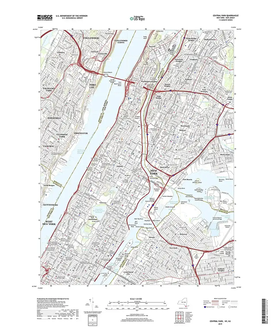
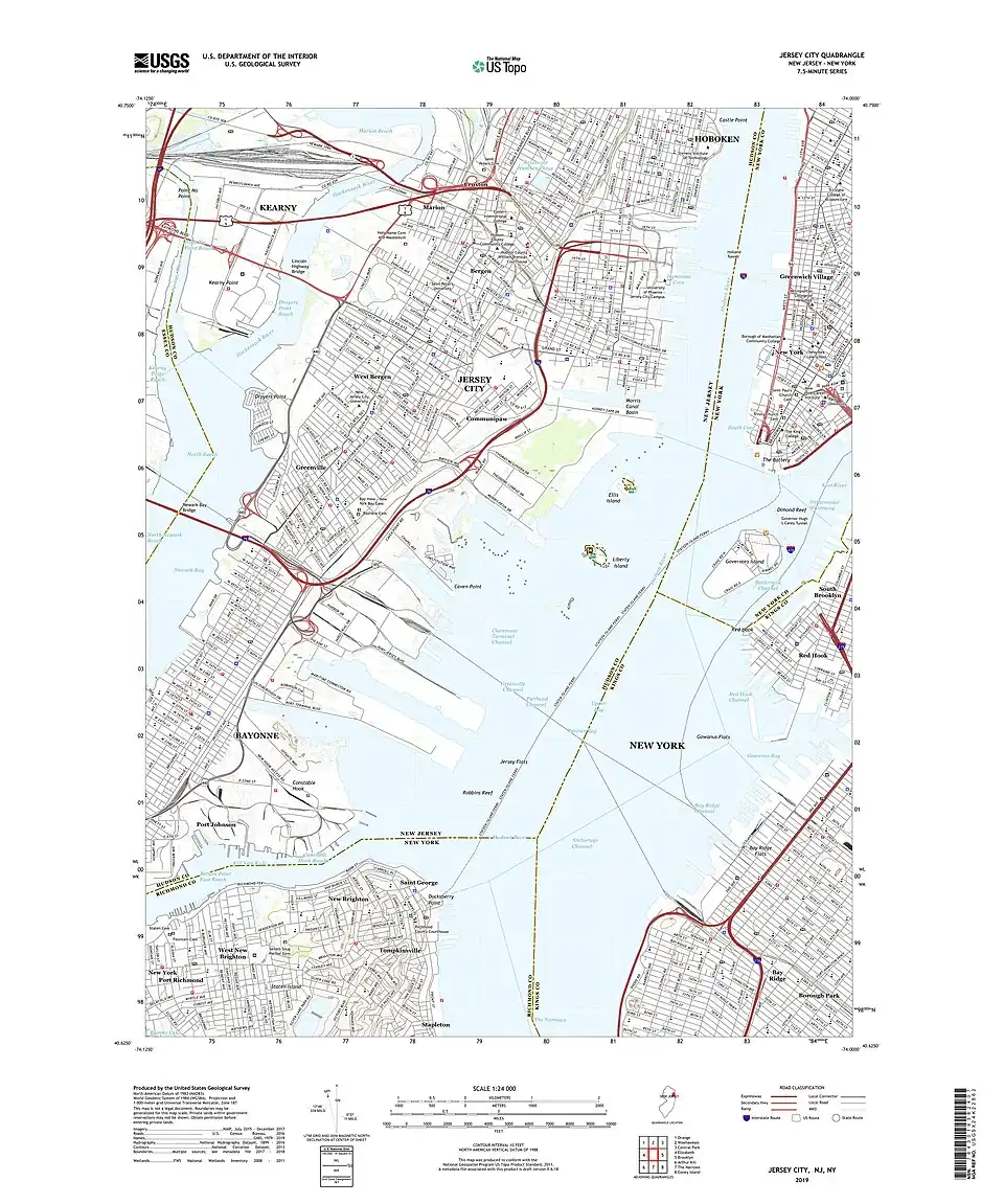
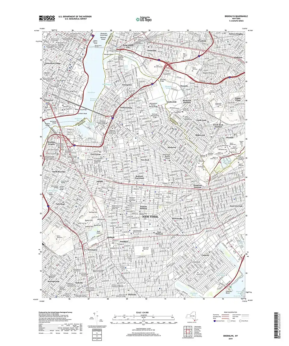
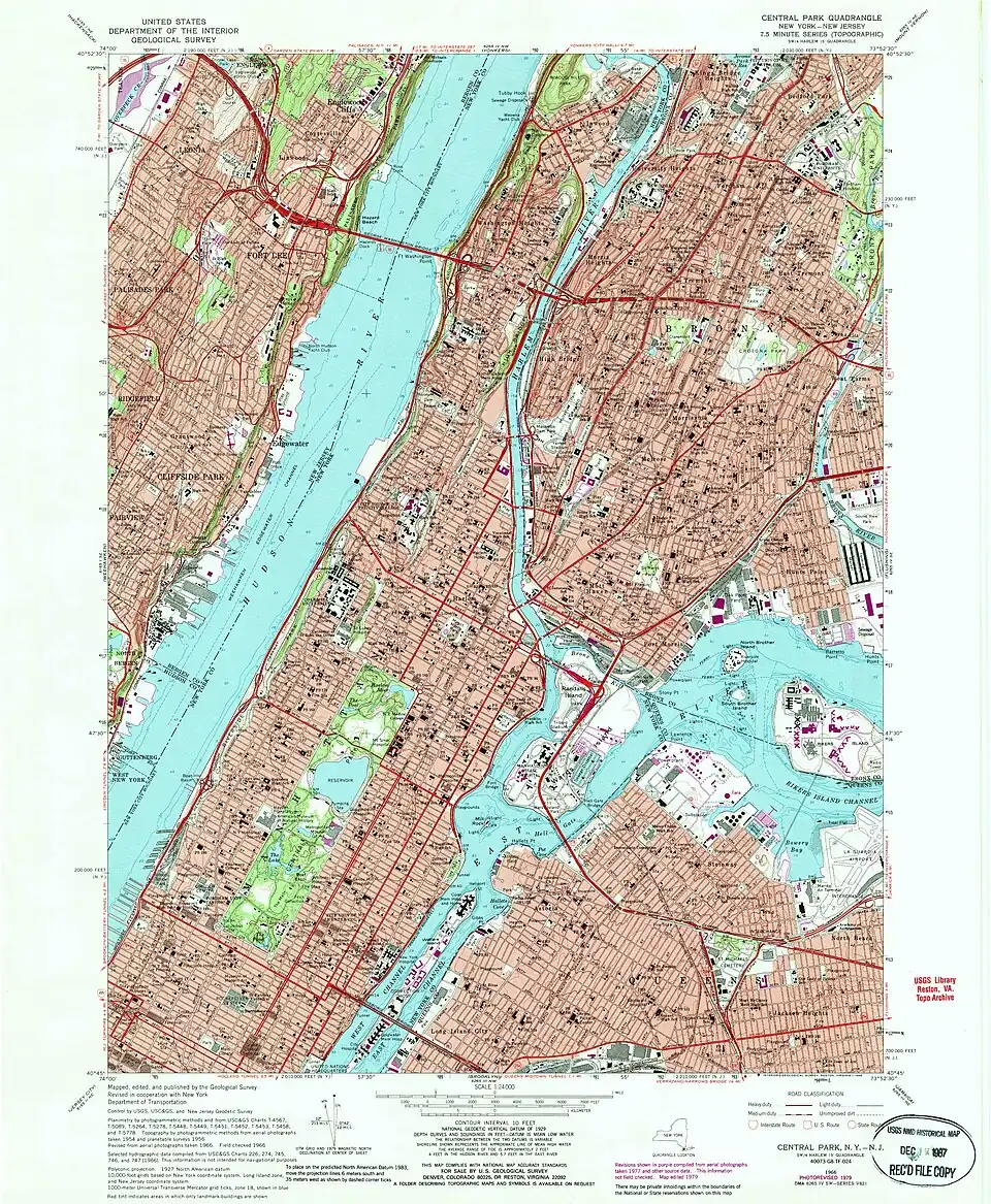
1966-1967
|
United States Geological Survey[10]
|
Centro y norte de Manhattan
|
|
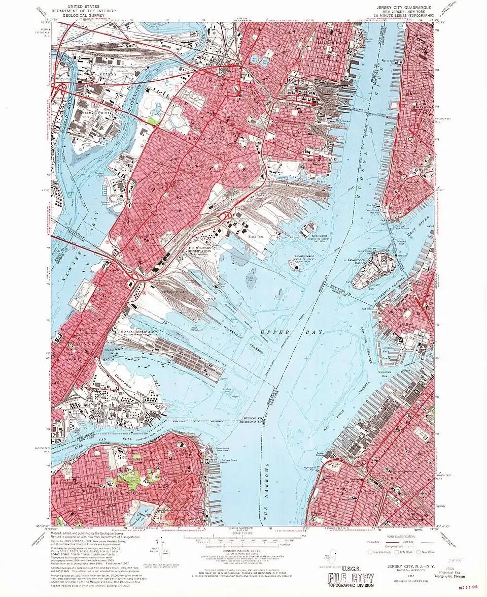
1966-1967
|
United States Geological Survey[10]
|
Suroeste de Manhattan (incluye también partes de Brooklyn y del estado de Nueva Jersey)
|
|
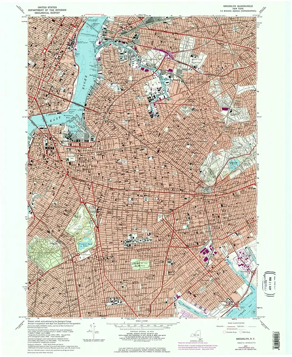
1966-1967
|
United States Geological Survey[10]
|
Sudeste de Manhattan (incluye también parte de Brooklyn)
|
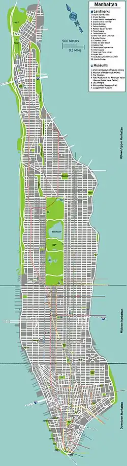
Siglo XXI
Referencias
- ↑ «Miller's new map of the city of New-York.». Library of Congress, Washington, D.C. 20540 USA. Consultado el 3 de diciembre de 2023.
- ↑ «1870 Hardy Map of Manhattan, New York City». Geographicus Rare Antique Maps (en inglés). Consultado el 3 de diciembre de 2023.
- ↑ «Colton's New York City : Brooklyn, Jersey City, Hoboken, etc.». Library of Congress, Washington, D.C. 20540 USA. Consultado el 3 de diciembre de 2023.
- ↑ «The Streets of New York». www.codex99.com. Consultado el 3 de diciembre de 2023.
- ↑ «Map of New-York City». Library of Congress, Washington, D.C. 20540 USA. Consultado el 3 de diciembre de 2023.
- ↑ «[Rapid transit map of Manhattan and adjacent districts of New York City].». Library of Congress, Washington, D.C. 20540 USA. Consultado el 3 de diciembre de 2023.
- ↑ «Heart of New York.». www.davidrumsey.com (en inglés). Consultado el 3 de diciembre de 2023.
- ↑ «Aerial survey, Manhattan Island, New York City». Library of Congress, Washington, D.C. 20540 USA. Consultado el 3 de diciembre de 2023.
- ↑ «The elementary schools of Manhattan». Library of Congress, Washington, D.C. 20540 USA. Consultado el 3 de diciembre de 2023.
- ↑ a b c d e f «USGS.gov | Science for a changing world». www.usgs.gov. Consultado el 3 de diciembre de 2023.